
Gesinflot
Gesinflot is a fleet management system for transportation tracks across Europe.
The users
Transportation and delivery companies, fleet coordinators and suppliers.
The project
Redesign the current system, focusing on the tracks view and deep dive into the tracks extended information and drive analysis.
Old system design
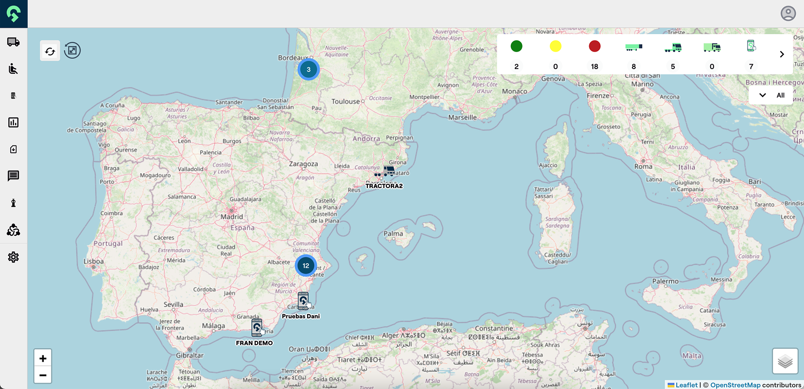
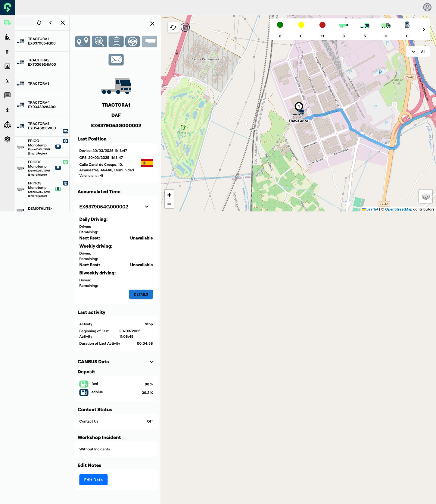
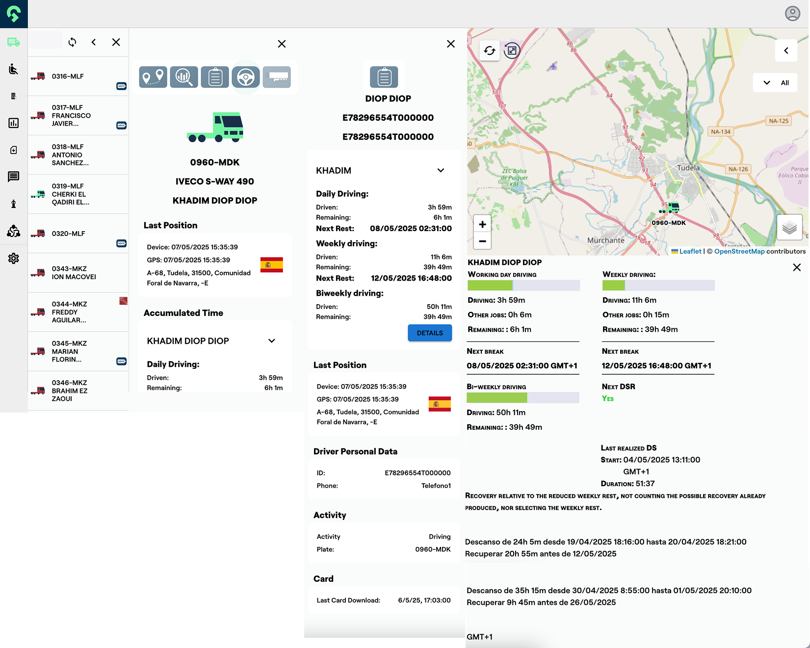
Track list
preforms as the main screen - allows adding polygons and receive historical data per polygon. Available data includes historical weather, soil type and NDVI image
(vegetation level).
(vegetation level).
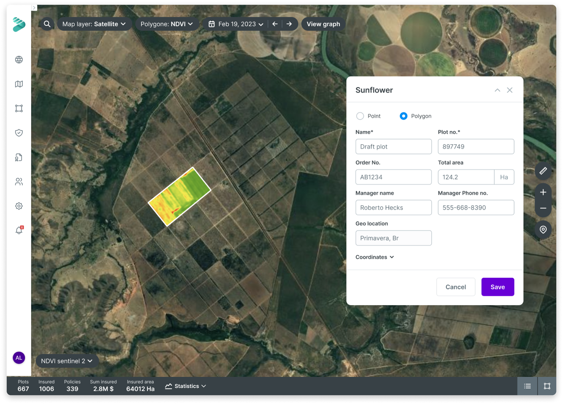
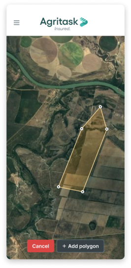
Create new polygon
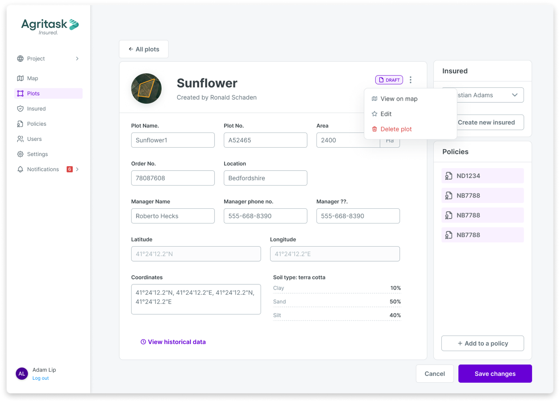
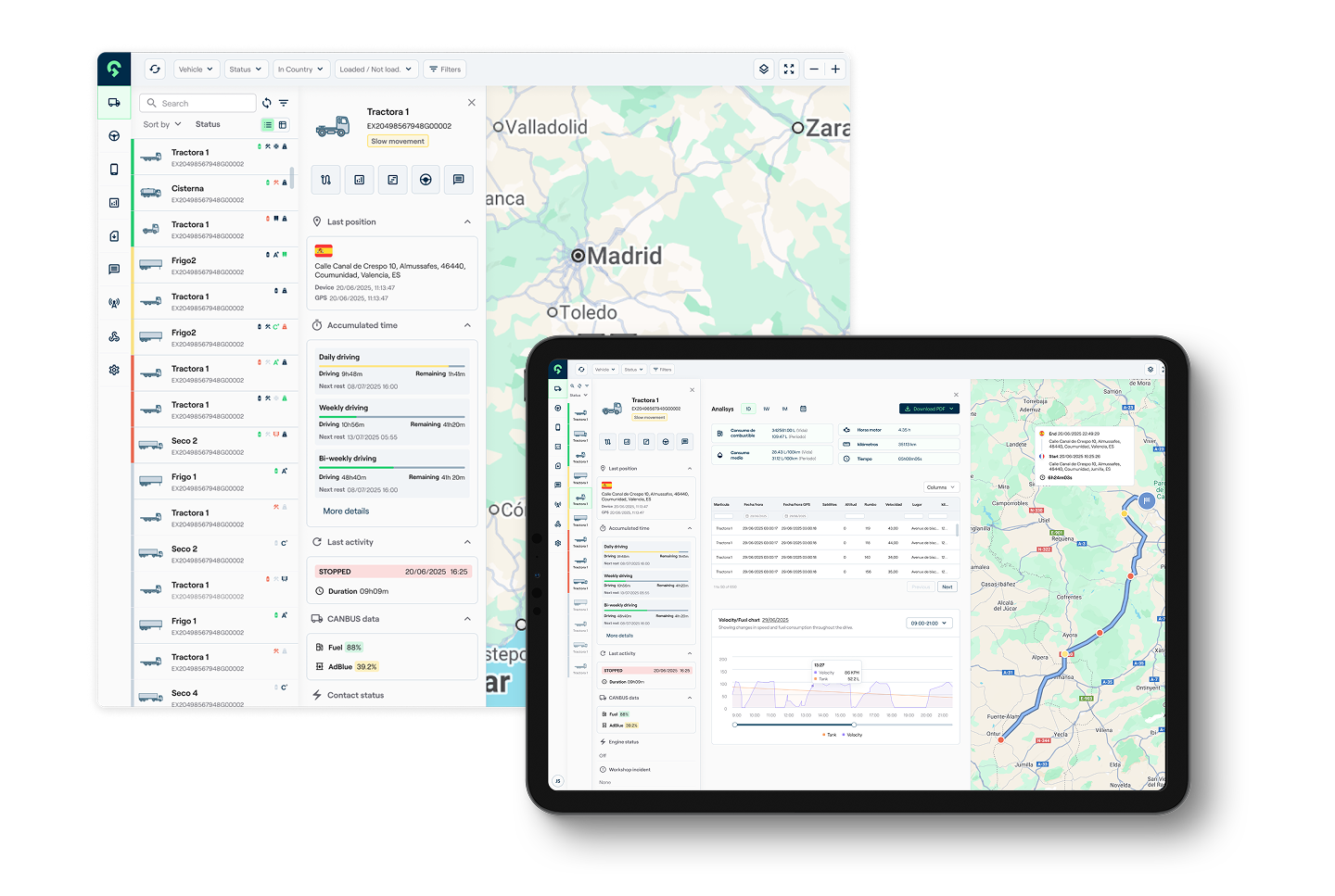
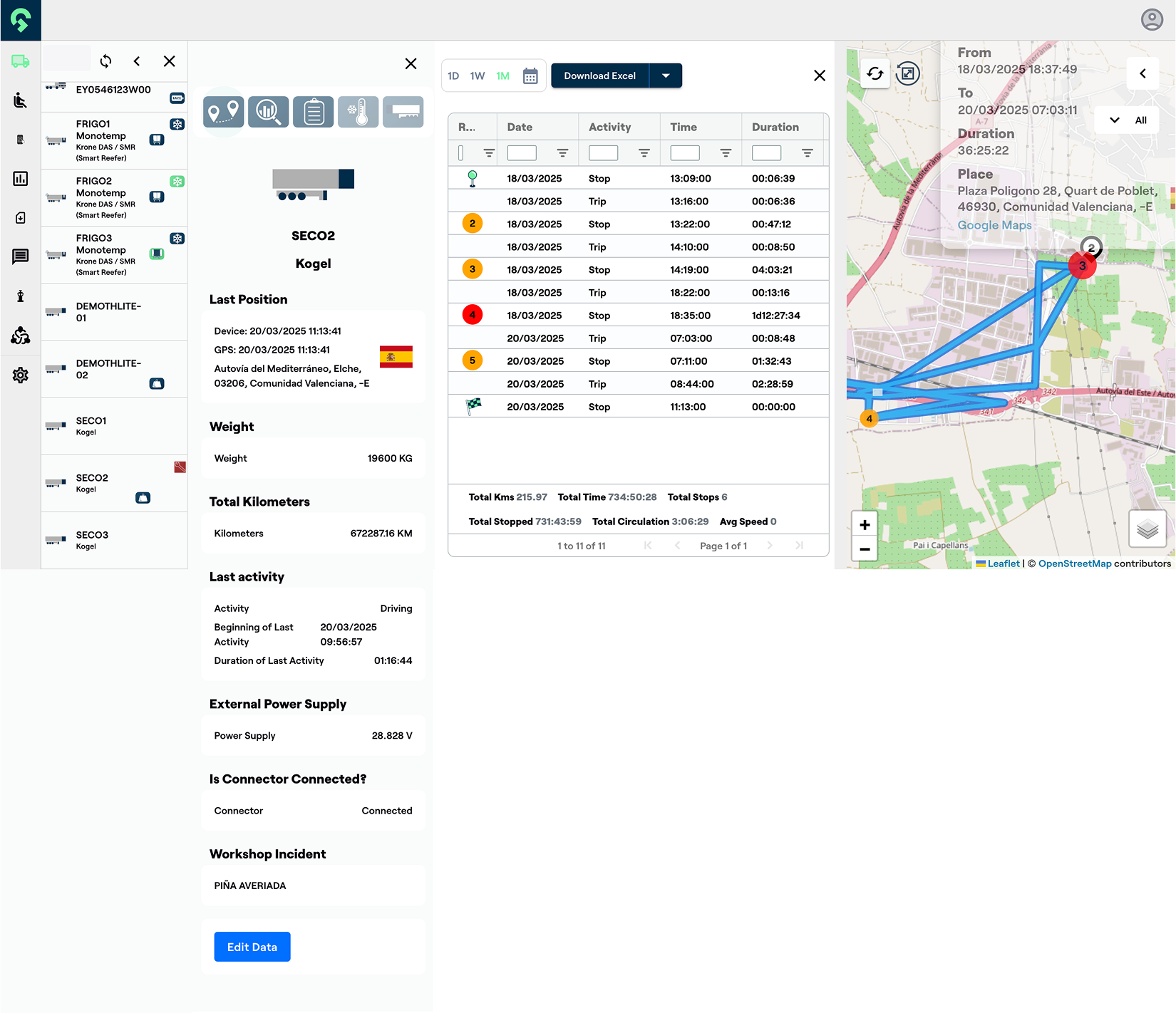
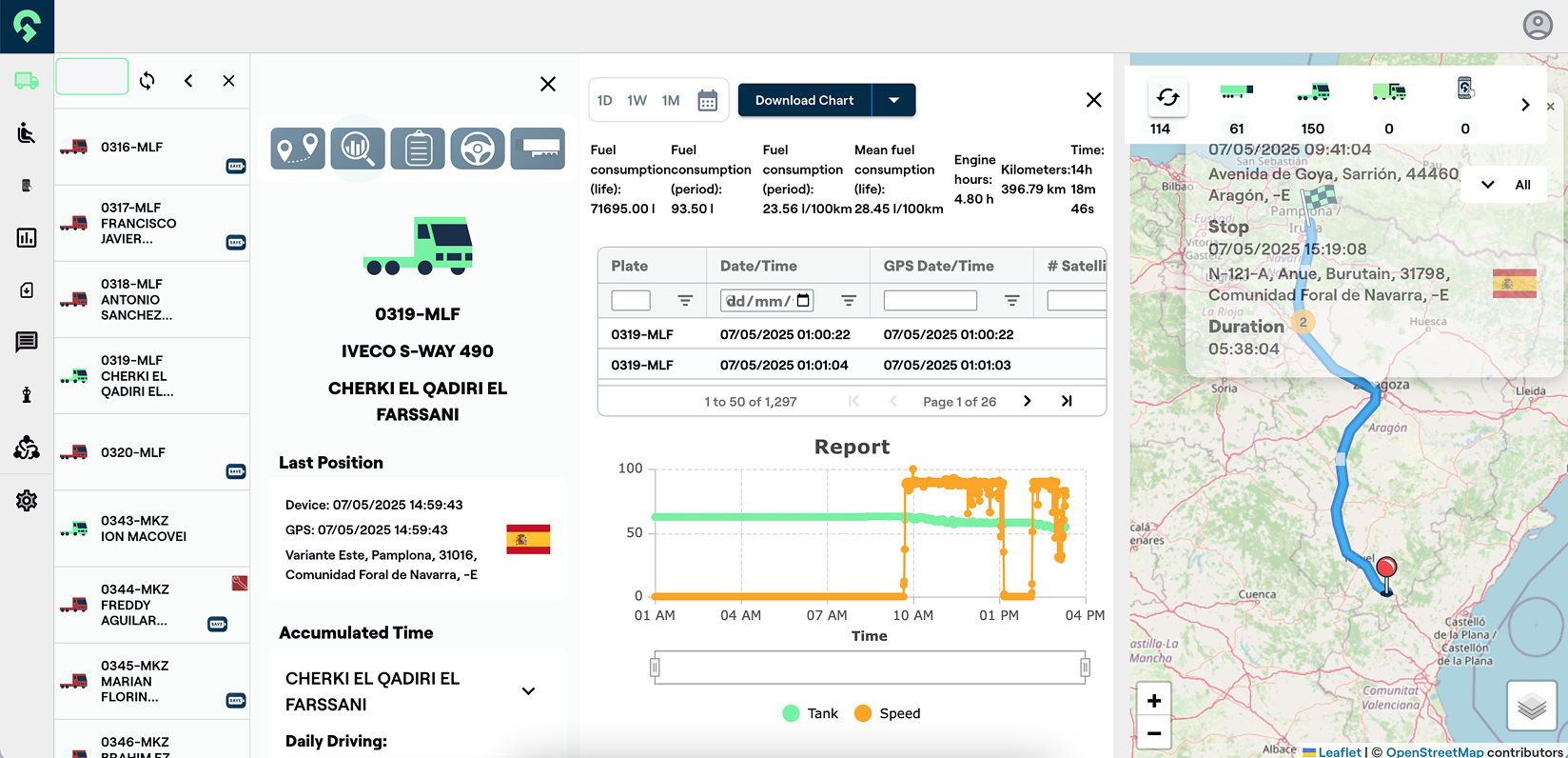
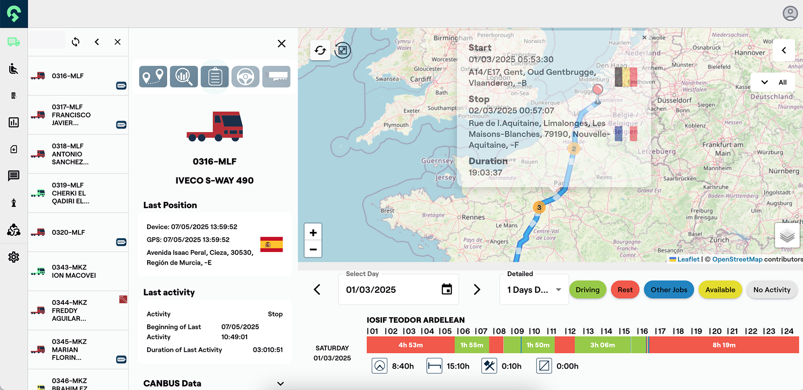
Plot summary page
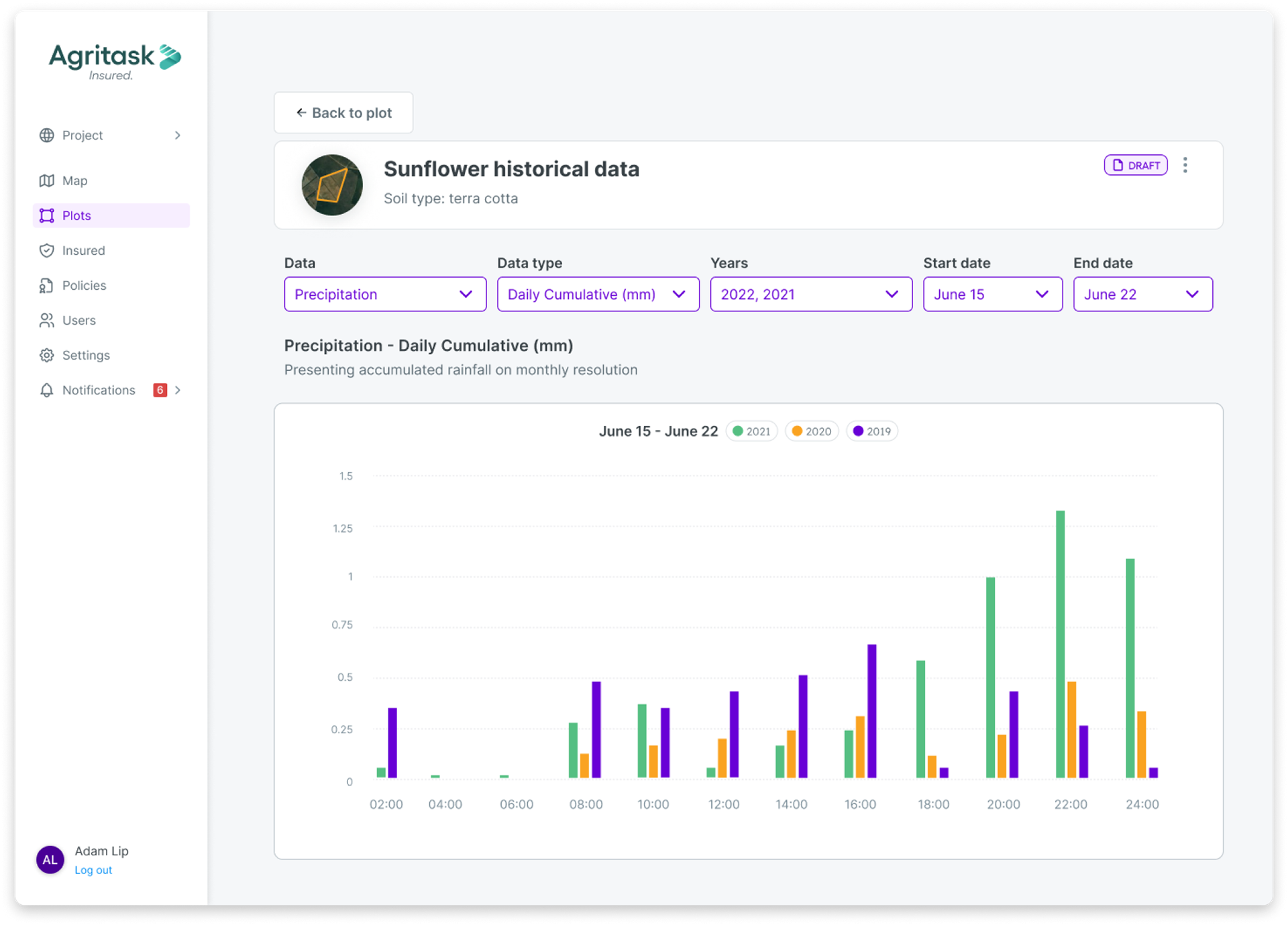
Plot analysis and historical risk data
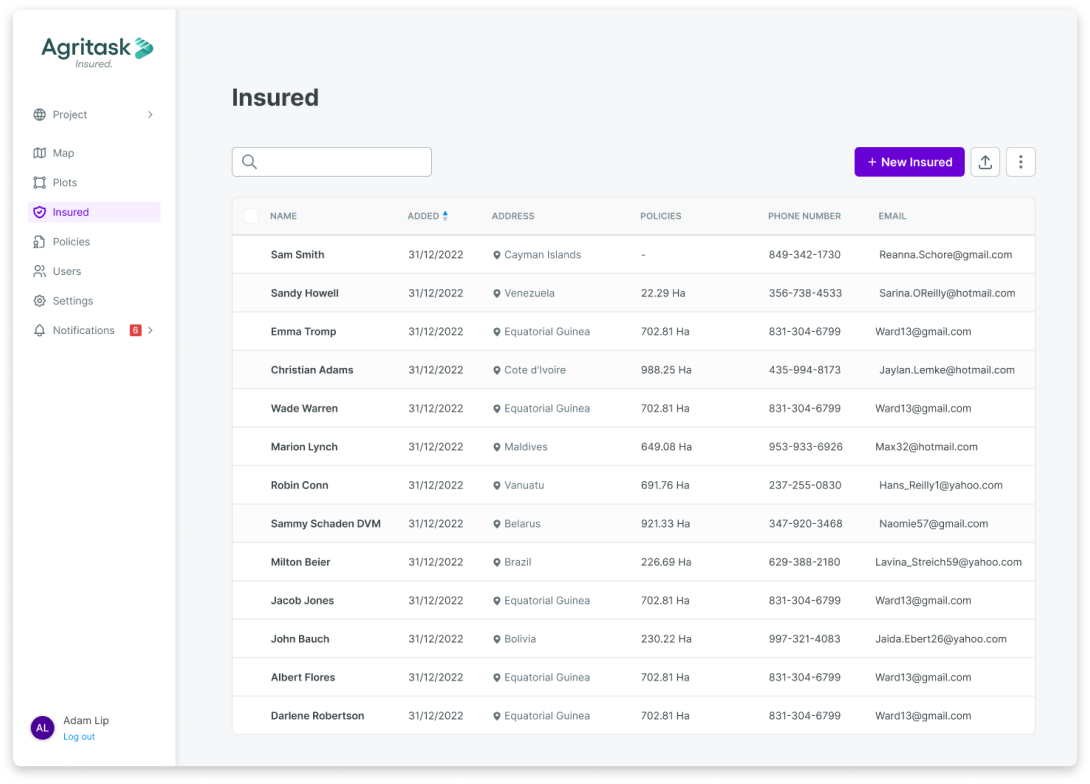
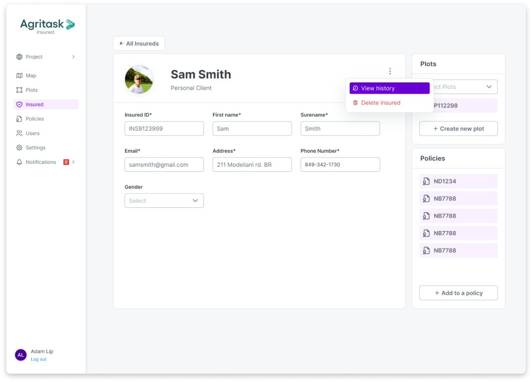
Insureds
A table view which contains all the contact info of clients.
Via the the client page, the user can edit information and connect plots and policies to a client.
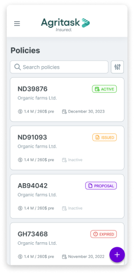
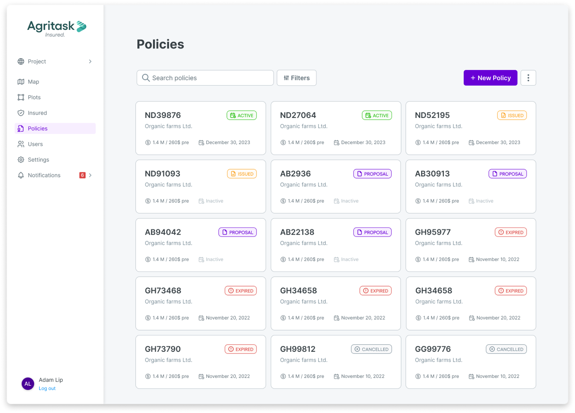
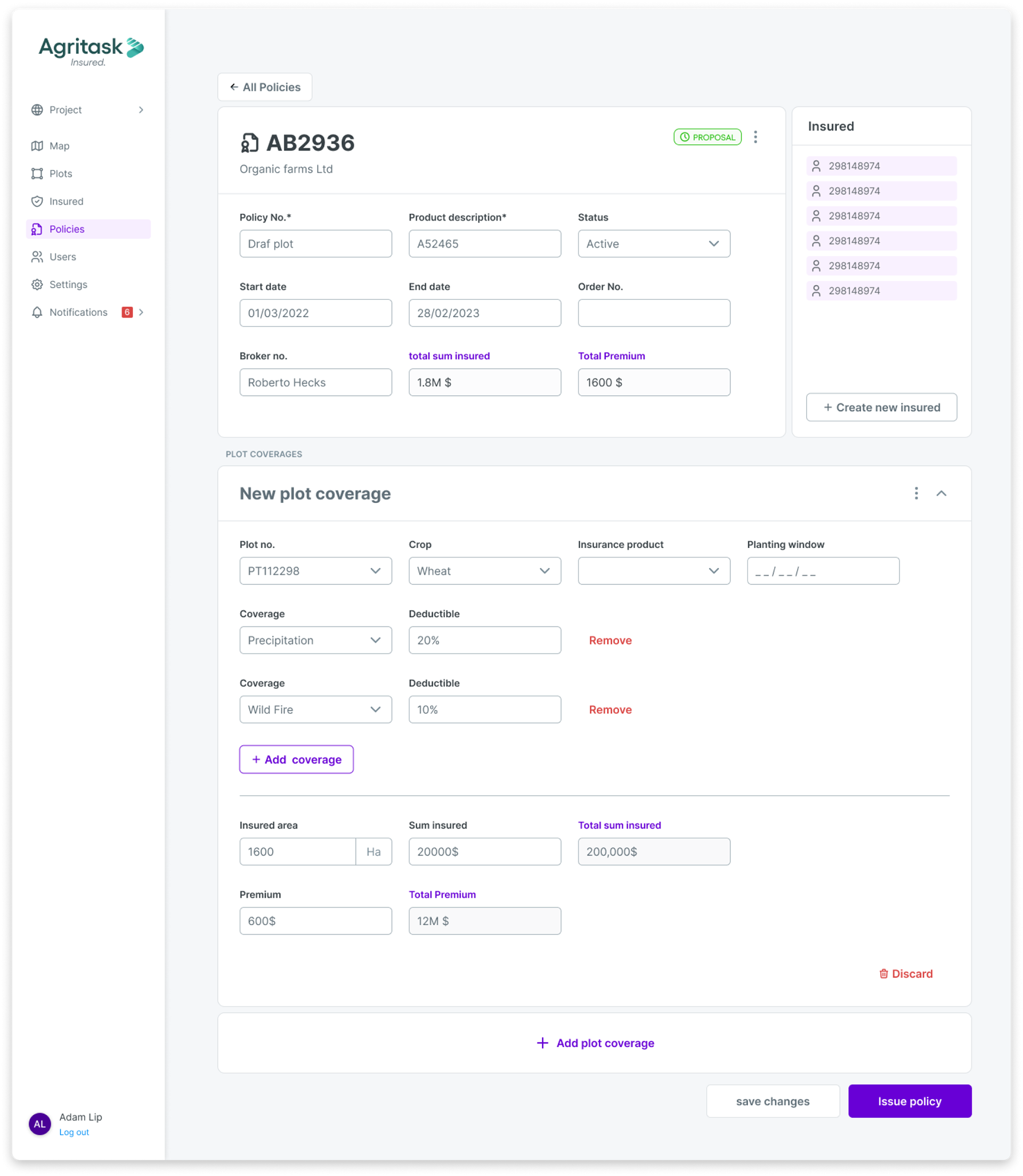
Policies
The policies page includes all policies in all statuses.
Once a policy is drafted the underwrites may start adding coverages. The coverages are the list of potential disasters that may occur in the field. The client may add as many coverages as needed and select the precentage of cover the insurance company is responsible for in case of damage. This eventually will translate into monthly payments and premium amount.
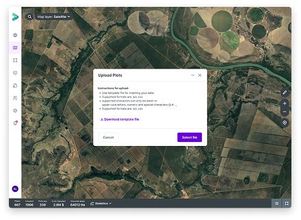
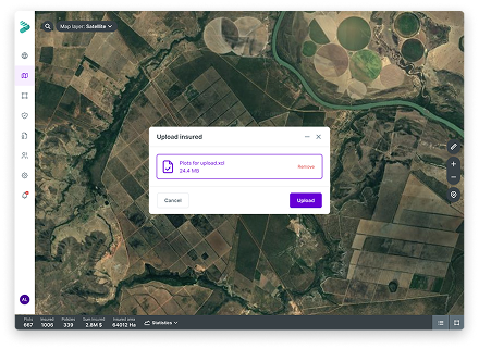
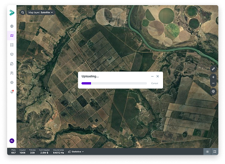
Batch upload
The system allows uploading data in batches. The user may upload a list of plots (polygons) or insureds.
In order to help the user upload xcl files easily without errors,
the system provides a template file for the user to fill and upload back into the system.
the system provides a template file for the user to fill and upload back into the system.
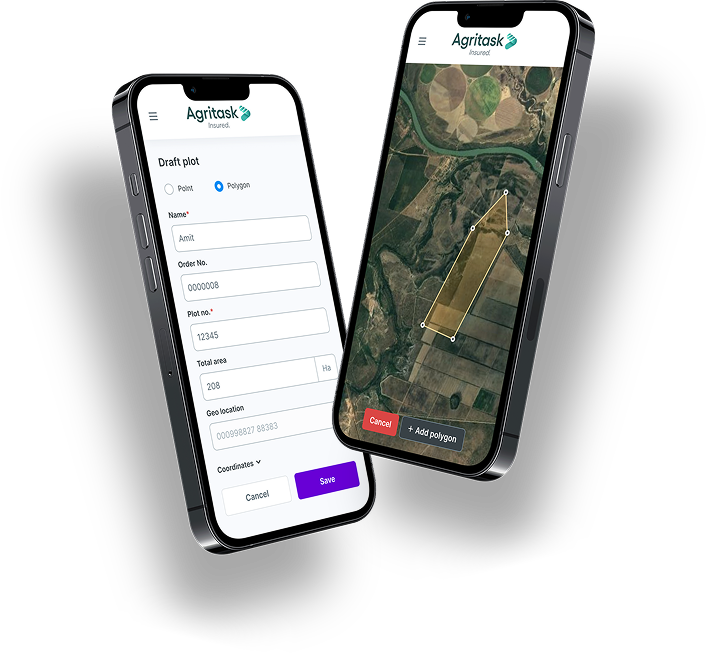
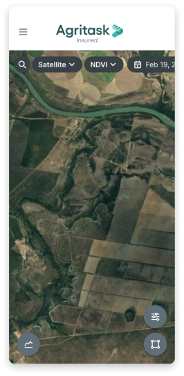
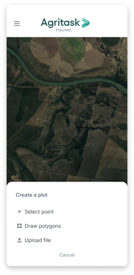
Mobile view
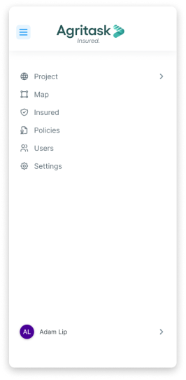
The mobile view is a responsive vie of the desktop app. It allows users to access all data while on the field, as well creating new plots and preform an audit online.